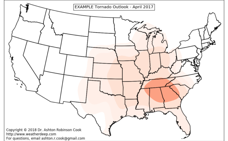
One of the more surprising outcomes of L-model development thus far has been demonstrated skill at predicting summer and fall tornadoes in the southeastern U.S. Often times, these tornadoes are associated with landfalling tropical cyclone activity across these areas.
The L-model depicted tornado activity across much of the Southeast in September 2017 – right during the height of the devastating 2017 hurricane season.
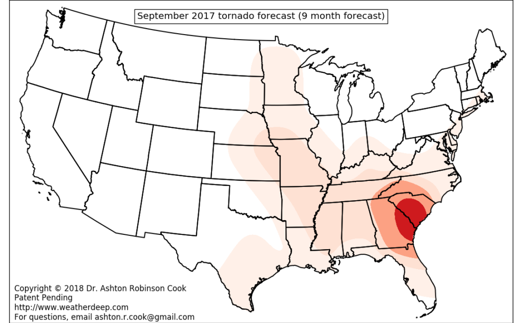
9-month tornado forecast. Valid September 2017
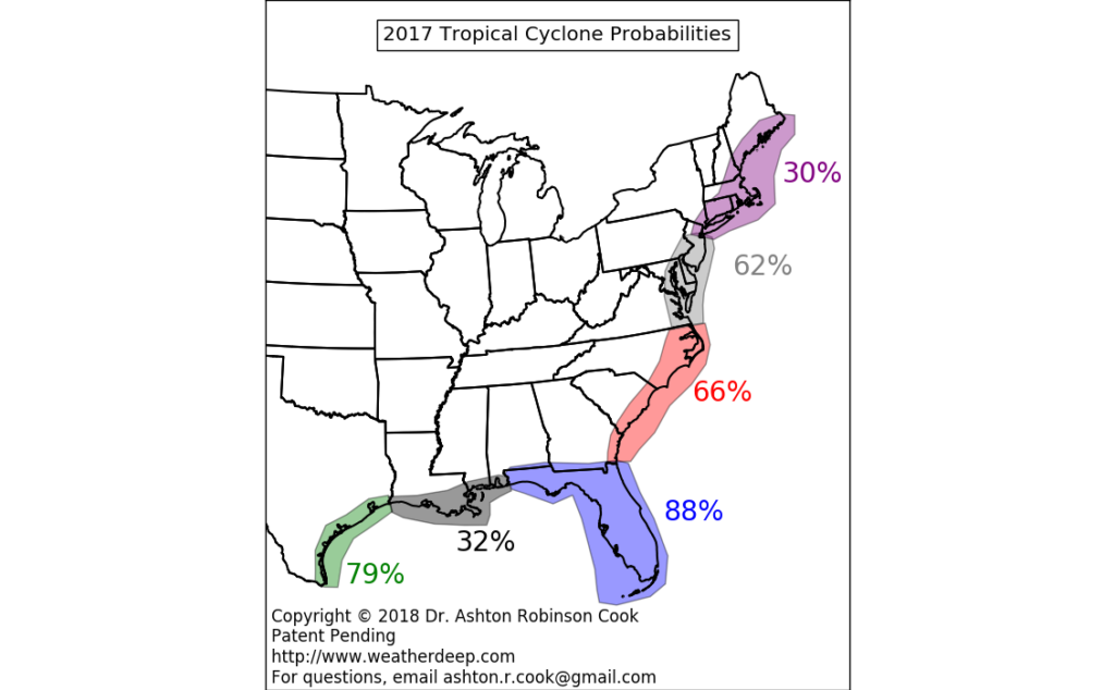
Given this development, WeatherDeep’s recent efforts have focused on more explicit tropical cyclone landfall prediction across U.S. coastlines. Here’s an early example of those forecasts…

Experimental tropical cyclone landfall probabilities valid during the 2017 Hurricane Season.
Imagine a world where individuals and agencies are given multiple months of leadtime to prepare for high-impact storms rather than the 3-5 days that current state-of-the-science forecasts provide. WeatherDeep intends to provide the technological advancements that will continue to push the envelope of weather predictability.
Patent Pending…
WeatherDeep L-model development continues, and new iterations of the model have been provided to select evaluators. Additionally, the new invention now has ‘patent pending’ status with the U.S. Patent and Trademark Office, potentially opening the door for commercialization in the near future. For more information or inquiries, feel free to contact me using this link.